METAR-TAF
Airports :
Tenerife, Spain
Tenerife-North Airport
latitude: 28-28N, longitude: 016-19W, elevation: 632 m
Current weather observation
The report was made 30 minutes ago, at 08:00 UTC
Wind 6 kt from the West, varying between West/Southwest and West/Northwest
Temperature 30°C
Humidity 18%
Pressure 1021 hPa
Visibility 10 km or more
no clouds below 1500 m and no cumulonimbus
METAR: GCXO 070800Z 26006KT 240V300 CAVOK 30/03 Q1021 NOSIG
Time: 09:30 (08:30 UTC)
Forecast
The report was made 6 hours and 30 minutes ago, at 02:00 UTC
Forecast valid from 07 at 03 UTC to 08 at 03 UTC
Wind 10 kt from the West
Visibility 10 km or more
no clouds below 1500 m and no cumulonimbus
Becoming
from 07 at 10 UTC to 07 at 12 UTC
from 07 at 10 UTC to 07 at 12 UTC
Wind 6 kt from the East/Southeast
Becoming
from 07 at 17 UTC to 07 at 19 UTC
from 07 at 17 UTC to 07 at 19 UTC
Wind 10 kt from the South
Probability 30% :
Temporary
from 07 at 20 UTC to 08 at 03 UTC
from 07 at 20 UTC to 08 at 03 UTC
Visibility: 1500 m
Broken clouds at a height of 100 ft
patches of fog
TAF: GCXO 070200Z 0703/0803 26010KT CAVOK TX34/0714Z TN20/0706Z BECMG 0710/0712 12006KT BECMG 0717/0719 18010KT PROB30 TEMPO 0720/0803 1500 BCFG BKN001
Weather observations and forecasts of more than 4000 airports (METAR and TAF reports).
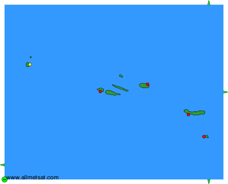
The available stations are represented by yellow and red dots on the map.
Hover mouse over dot to see the name of the station.
Then click to see weather observations and forecasts.
To change the map : click on the green buttons with a black cross to zoom in, on the green button with a dash to zoom out, or on the green arrows for adjacent maps.