METAR-TAF
Airports :
Horta, Azores, Portugal
Horta Airport
latitude: 38-31N, longitude: 028-43W, elevation: 40 m
Current weather observation
The report was made 6 hours and 29 minutes ago, at 20:00 UTC
Wind 11 kt from the North/Northeast
Temperature 22°C
Humidity 57%
Pressure 1030 hPa
Visibility 10 km or more
Few clouds at a height of 2500 ft
METAR: LPHR 232000Z 02011KT 9999 FEW025 22/13 Q1030
Time: 02:29 (02:29 UTC)
Forecast
The report was made 9 hours and 29 minutes ago, at 17:00 UTC
Forecast valid from 23 at 18 UTC to 24 at 03 UTC
Wind 13 kt from the East/Northeast
Visibility 10 km or more
Scattered clouds at a height of 2500 ft
TAF: LPHR 231700Z 2318/2403 06013KT 9999 SCT025
Weather observations and forecasts of more than 4000 airports (METAR and TAF reports).
The available stations are represented by yellow and red dots on the map.
Hover mouse over dot to see the name of the station.
Then click to see weather observations and forecasts.
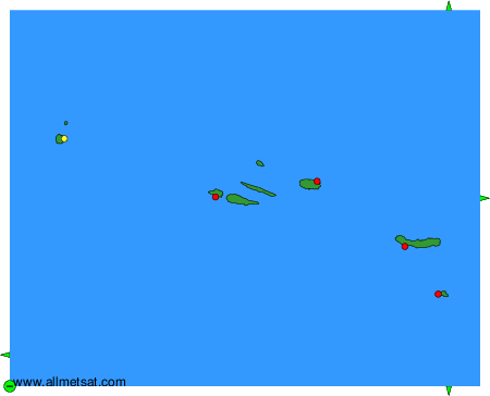
To change the map : click on the green buttons with a black cross to zoom in, on the green button with a dash to zoom out, or on the green arrows for adjacent maps.