METAR-TAF
Airports :
Terceira, Azores, Portugal
Lajes Field
latitude: 38-46N, longitude: 027-06W, elevation: 52 m
Current weather observation
The report was made 34 minutes ago, at 06:00 UTC
Wind 5 kt from the West/Northwest
Temperature 20°C
Humidity 94%
Pressure 1023 hPa
Visibility 10 km or more
Scattered clouds at a height of 2000 ft
Broken clouds at a height of 4000 ft
Broken clouds at a height of 4000 ft
METAR: LPLA 270600Z 30005KT 9999 SCT020 BKN040 20/19 Q1023
Time: 06:34 (06:34 UTC)
Forecast
The report was made 1 hour and 32 minutes ago, at 05:02 UTC
Forecast valid from 27 at 06 UTC to 28 at 06 UTC
Wind 5 kt from variable directions
Visibility 10 km or more
Few clouds at a height of 2500 ft
Broken clouds at a height of 4000 ft
Broken clouds at a height of 4000 ft
Temporary
from 27 at 06 UTC to 27 at 19 UTC
from 27 at 06 UTC to 27 at 19 UTC
Visibility: 7000 m
Few clouds at a height of 1400 ft
Broken clouds at a height of 2000 ft
Broken clouds at a height of 2000 ft
light rain showers
TAF: LPLA 270502Z 2706/2806 VRB05KT 9999 FEW025 BKN040 TEMPO 2706/2719 7000 -SHRA FEW014 BKN020
Weather observations and forecasts of more than 4000 airports (METAR and TAF reports).
The available stations are represented by yellow and red dots on the map.
Hover mouse over dot to see the name of the station.
Then click to see weather observations and forecasts.
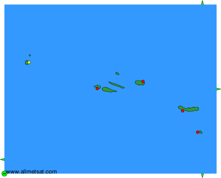
To change the map : click on the green buttons with a black cross to zoom in, on the green button with a dash to zoom out, or on the green arrows for adjacent maps.