METAR-TAF
Airports :
Ponta Delgada, Azores, Portugal
João Paulo II Airport
latitude: 37-44N, longitude: 025-42W, elevation: 71 m
Current weather observation
The report was made 21 minutes ago, at 16:30 UTC
Wind 12 kt from the West/Southwest
Temperature 21°C
Humidity 78%
Pressure 1012 hPa
Visibility 10 km or more
Few clouds at a height of 1600 ft
Few clouds at a height of 1800 ft, Cumulonimbus.
Few clouds at a height of 1800 ft, Cumulonimbus.
METAR: LPPD 201630Z 25012KT 9999 FEW016 FEW018CB 21/17 Q1012
Time: 16:51 (16:51 UTC)
Forecast
The report was made 5 hours and 51 minutes ago, at 11:00 UTC
Forecast valid from 20 at 12 UTC to 21 at 12 UTC
Wind 10 kt from the West/Southwest
Visibility 10 km or more
Few clouds at a height of 1500 ft
Scattered clouds at a height of 3000 ft
Scattered clouds at a height of 3000 ft
Becoming
from 21 at 07 UTC to 21 at 09 UTC
from 21 at 07 UTC to 21 at 09 UTC
Wind 13 kt from the West/Northwest
TAF: LPPD 201100Z 2012/2112 24010KT 9999 FEW015 SCT030 BECMG 2107/2109 29013KT
Weather observations and forecasts of more than 4000 airports (METAR and TAF reports).
The available stations are represented by yellow and red dots on the map.
Hover mouse over dot to see the name of the station.
Then click to see weather observations and forecasts.
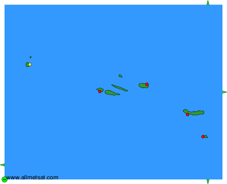
To change the map : click on the green buttons with a black cross to zoom in, on the green button with a dash to zoom out, or on the green arrows for adjacent maps.