METAR-TAF
Airports :
Bauru Airport
Bauru, São Paulo, Brazil
latitude: 22-19S, longitude: 049-04W, elevation: 590 m
Current weather observation
The report was made 44 minutes ago, at 16:00 UTC
Wind 7 kt from the North
Temperature 28°C
Humidity 42%
Pressure 1020 hPa
Visibility 10 km or more
no clouds below 1500 m and no cumulonimbus
METAR: SBBU 021600Z 35007KT CAVOK 28/14 Q1020
Time: 13:44 (16:44 UTC)
Forecast
The report was made 7 hours and 44 minutes ago, at 09:00 UTC
Forecast valid from 02 at 12 UTC to 02 at 24 UTC
Wind 7 kt from the Northeast
Visibility 10 km or more
no clouds below 1500 m and no cumulonimbus
Becoming
from 02 at 20 UTC to 02 at 22 UTC
from 02 at 20 UTC to 02 at 22 UTC
Wind 3 kt from the East/Northeast
TAF: SBBU 020900Z 0212/0224 04007KT CAVOK TN20/0212Z TX29/0218Z BECMG 0220/0222 07003KT RMK PGQ
Weather observations and forecasts of more than 4000 airports (METAR and TAF reports).
The available stations are represented by yellow and red dots on the map.
Hover mouse over dot to see the name of the station.
Then click to see weather observations and forecasts.
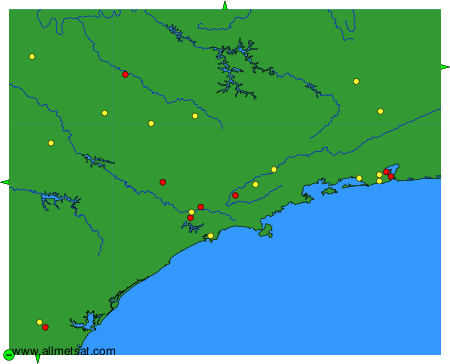
To change the map : click on the green buttons with a black cross to zoom in, on the green button with a dash to zoom out, or on the green arrows for adjacent maps.