METAR-TAF
Airports :
Rocky Mountain Metropolitan Airport
Broomfield, Colorado, United States
latitude: 39-55N, longitude: 105-07W, elevation: 1724 m
Current weather observation
The report was made 53 minutes ago, at 16:45 UTC
Wind 31 kt from the West with gusts up to 37 kt
Temperature 8°C
Humidity 19%
Pressure 1015 hPa
Visibility: 16.1 km
Clear sky
METAR: KBJC 031645Z 28031G37KT 10SM CLR 08/M14 A2998
Time: 11:38 (17:38 UTC)
Forecast
The report was made 2 hours and 36 minutes ago, at 15:02 UTC
Forecast valid from 03 at 15 UTC to 04 at 12 UTC
Wind 22 kt from the West with gusts up to 36 kt
Visibility: 10 km
Clear sky
From 03 at 1700 UTC
Wind 15 kt from the West with gusts up to 25 kt
Visibility: 10 km
Scattered clouds at a height of 10000 ft
From 04 at 0200 UTC
Wind 8 kt from the West/Northwest
Visibility: 10 km
Few clouds at a height of 10000 ft
TAF: KBJC 031502Z 0315/0412 27022G36KT P6SM SKC FM031700 28015G25KT P6SM SCT100 FM040200 30008KT P6SM FEW100
Weather observations and forecasts of more than 4000 airports (METAR and TAF reports).
The available stations are represented by yellow and red dots on the map.
Hover mouse over dot to see the name of the station.
Then click to see weather observations and forecasts.
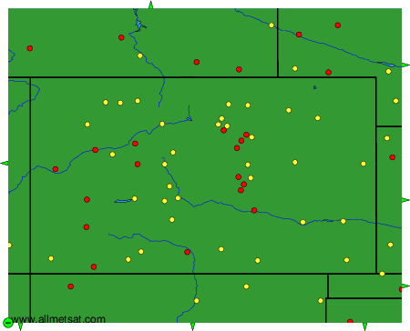
To change the map : click on the green buttons with a black cross to zoom in, on the green button with a dash to zoom out, or on the green arrows for adjacent maps.