METAR-TAF
Airports :
Naval Air Station Key West
Key West, Florida, United States
latitude: 24-34-46N, longitude: 081-41-02W, elevation: 1 m
Current weather observation
Broken clouds at a height of 25000 ft
METAR: KNQX 090053Z 12010KT 10SM FEW020 BKN250 28/24 A3005 RMK AO2 SLP173 T02830239 $
Time: 21:15 (01:15 UTC)
Forecast
Broken clouds at a height of 25000 ft
Broken clouds at a height of 25000 ft
TAF: KNQX 082255Z 0823/0923 13009KT 9999 FEW020 BKN250 QNH2998INS FM091200 11012KT 9999 SCT020 BKN250 QNH2997INS AUTOMATED SENSOR METWATCH 0602 TIL 0610 TX31/0919Z TN27/0911Z FN20056
Weather observations and forecasts of more than 4000 airports (METAR and TAF reports).
The available stations are represented by yellow and red dots on the map.
Hover mouse over dot to see the name of the station.
Then click to see weather observations and forecasts.
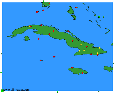
To change the map : click on the green buttons with a black cross to zoom in, on the green button with a dash to zoom out, or on the green arrows for adjacent maps.