METAR-TAF
Airports :
Jardines del Rey Airport
Cayo Coco, Cuba
latitude: 22-27-40N, longitude: 078-19-42W, elevation: 4 m
METAR: missing
Time: 21:15 (01:15 UTC)
Forecast
The report was made 2 hours and 15 minutes ago, at 23:00 UTC
Forecast valid from 09 at 00 UTC to 09 at 24 UTC
Wind 6 kt from the East/Southeast
Visibility: 9000 m
Scattered clouds at a height of 2000 ft
Becoming
from 09 at 13 UTC to 09 at 15 UTC
from 09 at 13 UTC to 09 at 15 UTC
Wind 11 kt from the East
TAF: MUCC 082300Z 0900/0924 11006KT 9000 SCT020 BECMG 0913/0915 09011KT
Weather observations and forecasts of more than 4000 airports (METAR and TAF reports).
The available stations are represented by yellow and red dots on the map.
Hover mouse over dot to see the name of the station.
Then click to see weather observations and forecasts.
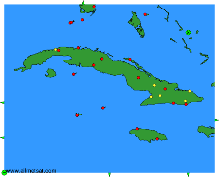
To change the map : click on the green buttons with a black cross to zoom in, on the green button with a dash to zoom out, or on the green arrows for adjacent maps.