The report was made 8 hours and 15 minutes ago, at 17:00 UTC
Forecast valid from 08 at 18 UTC to 09 at 18 UTC
Wind 11 kt from the East/Southeast
Visibility 10 km or more
Scattered clouds at a height of 2000 ft, Towering cumulus. Scattered clouds at a height of 5000 ft
showers in vicinity
Temporary from 08 at 18 UTC to 08 at 21 UTC
Visibility: 6000 m
Broken clouds at a height of 1800 ft
rain showers, rain
Probability 30% :
Temporary from 08 at 19 UTC to 08 at 21 UTC
Visibility: 4800 m
Broken clouds at a height of 1500 ft, Cumulonimbus.
thunderstorm, rain
Becoming from 08 at 21 UTC to 08 at 24 UTC
Broken clouds at a height of 2000 ft
Probability 40% :
Temporary from 09 at 00 UTC to 09 at 04 UTC
Visibility: 5000 m
rain showers, rain
Probability 30% :
Temporary from 09 at 14 UTC to 09 at 17 UTC
Wind 20 kt from variable directions with gusts up to 30 kt
Visibility: 3000 m
Broken clouds at a height of 1000 ft, Cumulonimbus.
thunderstorm, heavy rain
TAF: MWCB 081700Z 0818/0918 11011KT 9999 VCSH SCT020TCU SCT050 TEMPO 0818/0821 6000 SHRA RA BKN018 PROB30 TEMPO 0819/0821 4800 TSRA BKN015CB BECMG 0821/0824 BKN020 PROB40 TEMPO 0900/0904 5000 SHRA RA PROB30 TEMPO 0914/0917 VRB20G30KT 3000 +TSRA BKN010CB
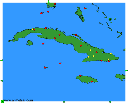
Weather observations and forecasts of more than 4000 airports (METAR and TAF reports).
The available stations are represented by yellow and red dots on the map.
Hover mouse over dot to see the name of the station.
Then click to see weather observations and forecasts.
To change the map : click on the green buttons with a black cross to zoom in, on the green button with a dash to zoom out, or on the green arrows for adjacent maps.