METAR-TAF
Airports :
JAGS McCartney International Airport
Grand Turk Island, Turks and Caicos Islands
latitude: 21-26-40N, longitude: 071-08-32W, elevation: 4 m
METAR: missing
Time: 20:19 (00:19 UTC)
Forecast
The report was made 7 hours and 19 minutes ago, at 17:00 UTC
Forecast valid from 14 at 18 UTC to 15 at 18 UTC
Wind 10 kt from the South
Visibility 10 km or more
Few clouds at a height of 1500 ft, Cumulonimbus.
Broken clouds at a height of 1800 ft
Broken clouds at a height of 22000 ft
Broken clouds at a height of 1800 ft
Broken clouds at a height of 22000 ft
showers in vicinity
TAF: MBGT 141700Z 1418/1518 18010KT 9999 VCSH FEW015CB BKN018 BKN220
Weather observations and forecasts of more than 4000 airports (METAR and TAF reports).
The available stations are represented by yellow and red dots on the map.
Hover mouse over dot to see the name of the station.
Then click to see weather observations and forecasts.
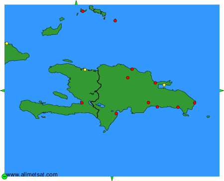
To change the map : click on the green buttons with a black cross to zoom in, on the green button with a dash to zoom out, or on the green arrows for adjacent maps.