METAR-TAF
Airports :
Šiauliai International Airport
Šiauliai, Lithuania
latitude: 55-53-38N, longitude: 023-23-42E, elevation: 135 m
Current weather observation
The report was made 15 minutes ago, at 18:50 UTC
Wind 13 kt from the Southeast
Temperature 8°C
Humidity 49%
Pressure 1010 hPa
Visibility 10 km or more
no clouds below 1500 m and no cumulonimbus
METAR: EYSA 141850Z 14013KT CAVOK 08/M02 Q1010 NOSIG
Time: 21:05 (19:05 UTC)
Forecast
The report was made 1 hour and 59 minutes ago, at 17:06 UTC
Forecast valid from 14 at 18 UTC to 15 at 03 UTC
Wind 10 kt from the Southeast
Visibility: 9000 m
Probability 40% :
Temporary
from 14 at 18 UTC to 14 at 21 UTC
from 14 at 18 UTC to 14 at 21 UTC
Wind 20 kt from the Southeast
TAF: EYSA 141706Z 1418/1503 14010KT 9000 NSC PROB40 TEMPO 1418/1421 14020KT
Weather observations and forecasts of more than 4000 airports (METAR and TAF reports).
The available stations are represented by yellow and red dots on the map.
Hover mouse over dot to see the name of the station.
Then click to see weather observations and forecasts.
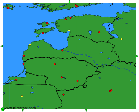
To change the map : click on the green buttons with a black cross to zoom in, on the green button with a dash to zoom out, or on the green arrows for adjacent maps.