METAR-TAF
Airports :
Khrabrovo Airport
Kaliningrad, Russia
latitude: 54-43-12N, longitude: 020-30E, elevation: 21 m
Current weather observation
METAR: UMKK 141030Z 35005MPS 9999 BKN010 18/16 Q1021 R24/CLRD63 NOSIG RMK QFE764/1019
Time: 12:42 (10:42 UTC)
Forecast
Broken clouds at a height of 1600 ft
from 14 at 12 UTC to 14 at 15 UTC
from 14 at 15 UTC to 14 at 18 UTC
from 14 at 18 UTC to 14 at 21 UTC
from 14 at 21 UTC to 15 at 05 UTC
from 15 at 05 UTC to 15 at 08 UTC
Broken clouds at a height of 1600 ft
TAF: UMKK 140757Z 1409/1509 34005G12MPS 6000 FEW010 BKN016 TEMPO 1412/1415 SCT010 BECMG 1415/1418 BKN005 BECMG 1418/1421 02003G08MPS BKN003 TEMPO 1421/1505 0800 FG VV002 BECMG 1505/1508 FEW007 BKN016
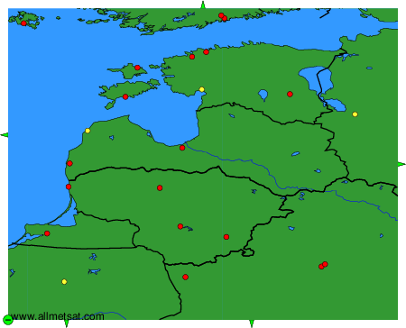
Weather observations and forecasts of more than 4000 airports (METAR and TAF reports).
The available stations are represented by yellow and red dots on the map.
Hover mouse over dot to see the name of the station.
Then click to see weather observations and forecasts.
To change the map : click on the green buttons with a black cross to zoom in, on the green button with a dash to zoom out, or on the green arrows for adjacent maps.