METAR-TAF
Airports :
Hrodna Airport
Grodno, Belarus
latitude: 53-36-06N, longitude: 024-03-18E, elevation: 135 m
Current weather observation
The report was made 1 hour and 3 minutes ago, at 03:00 UTC
Wind 6 kt from the North
Temperature 13°C
Humidity 94%
Pressure 1022 hPa
Visibility 10 km or more
no clouds below 1500 m and no cumulonimbus
METAR: UMMG 030300Z 35003MPS CAVOK 13/12 Q1022 NOSIG
Time: 07:03 (04:03 UTC)
Forecast
The report was made 17 hours and 1 minutes ago, at 11:02 UTC
Forecast valid from 02 at 12 UTC to 02 at 21 UTC
Wind 6 kt from the Northwest with gusts up to 16 kt
Visibility 10 km or more
Broken clouds at a height of 2000 ft
Temporary
from 02 at 12 UTC to 02 at 15 UTC
from 02 at 12 UTC to 02 at 15 UTC
Wind 8 kt from the North/Northwest with gusts up to 17 kt
Broken clouds at a height of 1600 ft, Cumulonimbus.
light rain showers
Temporary
from 02 at 15 UTC to 02 at 21 UTC
from 02 at 15 UTC to 02 at 21 UTC
Wind 6 kt from the Northwest with gusts up to 16 kt
TAF: UMMG 021102Z 0212/0221 32003G08MPS 9999 BKN020 TEMPO 0212/0215 33004G09MPS -SHRA BKN016CB TEMPO 0215/0221 31003G08MPS
Weather observations and forecasts of more than 4000 airports (METAR and TAF reports).
The available stations are represented by yellow and red dots on the map.
Hover mouse over dot to see the name of the station.
Then click to see weather observations and forecasts.
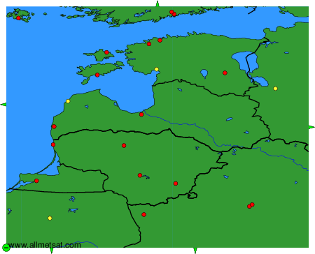
To change the map : click on the green buttons with a black cross to zoom in, on the green button with a dash to zoom out, or on the green arrows for adjacent maps.