METAR-TAF
Airports :
Minsk National Airport
Minsk, Belarus
latitude: 53-56N, longitude: 027-38E, elevation: 234 m
Current weather observation
The report was made 12 minutes ago, at 19:30 UTC
Wind 4 kt from the Southwest
Temperature 15°C
Humidity 82%
Pressure 1004 hPa
Visibility 10 km or more
Scattered clouds at a height of 3300 ft
METAR: UMMS 051930Z 23002MPS 9999 SCT033 15/12 Q1004 NOSIG
Time: 22:42 (19:42 UTC)
Forecast
The report was made 2 hours and 36 minutes ago, at 17:06 UTC
Forecast valid from 05 at 18 UTC to 06 at 18 UTC
Wind 10 kt from the West with gusts up to 19 kt
Visibility 10 km or more
Broken clouds at a height of 1500 ft
Temporary
from 05 at 18 UTC to 06 at 06 UTC
from 05 at 18 UTC to 06 at 06 UTC
Wind 19 kt from the West/Northwest with gusts up to 29 kt
Visibility: 1100 m
Few clouds at a height of 300 ft
Broken clouds at a height of 1000 ft, Cumulonimbus.
Broken clouds at a height of 1000 ft, Cumulonimbus.
thunderstorm, rain
Temporary
from 06 at 06 UTC to 06 at 18 UTC
from 06 at 06 UTC to 06 at 18 UTC
Wind 17 kt from the West/Northwest with gusts up to 27 kt
Visibility: 3000 m
Few clouds at a height of 500 ft
Broken clouds at a height of 1000 ft, Cumulonimbus.
Broken clouds at a height of 1000 ft, Cumulonimbus.
thunderstorm, light rain
TAF: UMMS 051706Z 0518/0618 27005G10MPS 9999 BKN015 TEMPO 0518/0606 29010G15MPS 1100 TSRA FEW003 BKN010CB TEMPO 0606/0618 29009G14MPS 3000 -TSRA FEW005 BKN010CB
Weather observations and forecasts of more than 4000 airports (METAR and TAF reports).
The available stations are represented by yellow and red dots on the map.
Hover mouse over dot to see the name of the station.
Then click to see weather observations and forecasts.
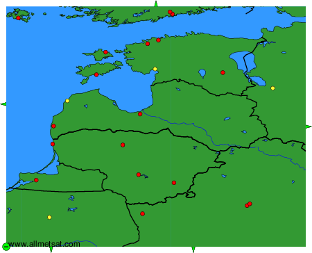
To change the map : click on the green buttons with a black cross to zoom in, on the green button with a dash to zoom out, or on the green arrows for adjacent maps.