METAR-TAF
Airports :
Cayenne – Félix Eboué Airport
Cayenne, French Guiana
latitude: 04-50N, longitude: 052-22W, elevation: 105 m
Current weather observation
METAR: SOCA 090100Z AUTO 09003KT CAVOK 24/24 Q1014 TEMPO 3000 SHRA SCT010 SCT014CB BKN018TCU
Time: 22:15 (01:15 UTC)
Forecast
from 09 at 00 UTC to 09 at 09 UTC
Scattered clouds at a height of 1400 ft, Cumulonimbus.
Broken clouds at a height of 1800 ft, Towering cumulus.
from 09 at 14 UTC to 09 at 16 UTC
from 09 at 15 UTC to 09 at 18 UTC
Broken clouds at a height of 1200 ft, Cumulonimbus.
from 09 at 22 UTC to 09 at 24 UTC
from 09 at 22 UTC to 09 at 24 UTC
Scattered clouds at a height of 1200 ft, Cumulonimbus.
Broken clouds at a height of 1500 ft, Towering cumulus.
TAF: SOCA 082300Z 0900/0924 VRB02KT 9999 BKN025 PROB40 TEMPO 0900/0909 3000 SHRA SCT010 SCT014CB BKN018TCU BECMG 0914/0916 09010KT PROB30 TEMPO 0915/0918 1200 TSRA BKN006 BKN012CB BECMG 0922/0924 VRB02KT TEMPO 0922/0924 2000 SHRA SCT008 SCT012CB BKN015TCU
Weather observations and forecasts of more than 4000 airports (METAR and TAF reports).
The available stations are represented by yellow and red dots on the map.
Hover mouse over dot to see the name of the station.
Then click to see weather observations and forecasts.
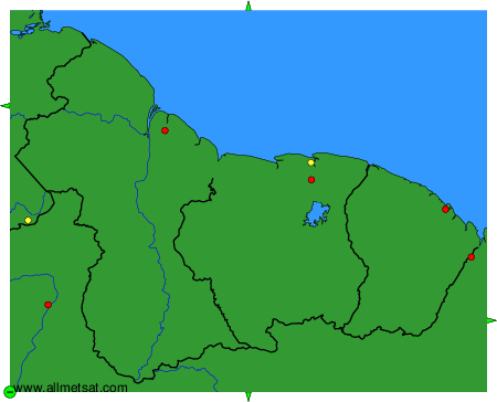
To change the map : click on the green buttons with a black cross to zoom in, on the green button with a dash to zoom out, or on the green arrows for adjacent maps.