METAR-TAF
Airports :
Daniel K. Inouye International Airport
Honolulu, Hawaii, United States
latitude: 21-19-39N, longitude: 157-56-35W, elevation: 10 ft
Current weather observation
Scattered clouds at a height of 4200 ft
Broken clouds at a height of 6000 ft
METAR: PHNL 262353Z 07013G19KT 10SM FEW024 SCT042 BKN060 28/18 A3009 RMK AO2 SLP189 VCSH NE-E 60000 T02830183 10283 20244 57018
Time: 14:58 (00:58 UTC)
Forecast
Broken clouds at a height of 5000 ft
Broken clouds at a height of 4000 ft
Broken clouds at a height of 4500 ft
Broken clouds at a height of 4500 ft
TAF: PHNL 262320Z 2700/2806 06012G18KT P6SM SCT025 BKN050 FM270600 07011KT P6SM VCSH SCT025 BKN040 FM272000 10012G18KT P6SM SCT025 BKN045 FM280500 08012G18KT P6SM SCT025 BKN045
Weather observations and forecasts of more than 4000 airports (METAR and TAF reports).
The available stations are represented by yellow and red dots on the map.
Hover mouse over dot to see the name of the station.
Then click to see weather observations and forecasts.
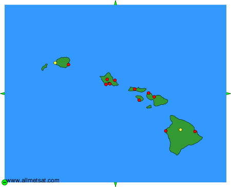
To change the map : click on the green buttons with a black cross to zoom in, on the green button with a dash to zoom out, or on the green arrows for adjacent maps.