METAR-TAF
Airports :
Ben Gurion Airport
Tel Aviv / Ben Gurion, Israel
latitude: 32-00N, longitude: 034-54E, elevation: 40 m
Current weather observation
METAR: LLBG 260120Z VRB03KT 9999 SCT028 26/19 Q1006 NOSIG
Time: 04:32 (01:32 UTC)
Forecast
from 26 at 00 UTC to 26 at 05 UTC
from 26 at 07 UTC to 26 at 09 UTC
from 26 at 15 UTC to 26 at 17 UTC
from 26 at 20 UTC to 26 at 22 UTC
TAF: LLBG 252309Z 2600/2624 VRB04KT 9999 SCT030 TX32/2611Z TN25/2603Z PROB40 TEMPO 2600/2605 BKN022 BECMG 2607/2609 31012KT FEW040 BECMG 2615/2617 35006KT FEW030 BECMG 2620/2622 VRB04KT SCT025
Weather observations and forecasts of more than 4000 airports (METAR and TAF reports).
The available stations are represented by yellow and red dots on the map.
Hover mouse over dot to see the name of the station.
Then click to see weather observations and forecasts.
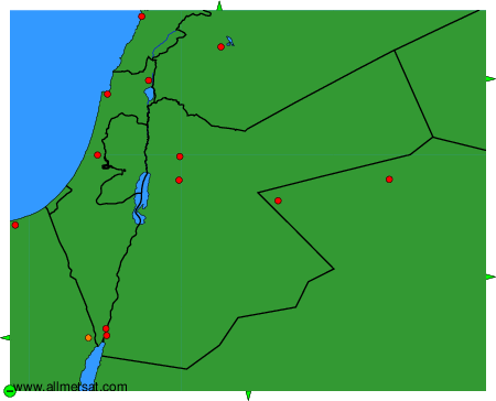
To change the map : click on the green buttons with a black cross to zoom in, on the green button with a dash to zoom out, or on the green arrows for adjacent maps.