METAR-TAF
Airports :
Fukushima Airport
Kōriyama, Japan
latitude: 37-24N, longitude: 140-23E, elevation: 372 m
Current weather observation
Broken clouds at a height of 3000 ft
Broken clouds at a height of 10000 ft
METAR: RJSF 181000Z 13007KT 9999 FEW015 BKN030 BKN100 08/05 Q1015
Time: 19:39 (10:39 UTC)
Forecast
Broken clouds at a height of 3000 ft
from 18 at 10 UTC to 18 at 15 UTC
Broken clouds at a height of 800 ft
from 18 at 15 UTC to 19 at 00 UTC
Broken clouds at a height of 300 ft
from 18 at 21 UTC to 19 at 00 UTC
from 19 at 00 UTC to 19 at 09 UTC
TAF: RJSF 180505Z 1806/1912 17010KT 9999 FEW020 BKN030 TEMPO 1810/1815 4000 -RA BR FEW005 BKN008 TEMPO 1815/1900 2000 -RA BR FEW001 BKN003 BECMG 1821/1900 34014KT TEMPO 1900/1909 33020G30KT
Weather observations and forecasts of more than 4000 airports (METAR and TAF reports).
The available stations are represented by yellow and red dots on the map.
Hover mouse over dot to see the name of the station.
Then click to see weather observations and forecasts.
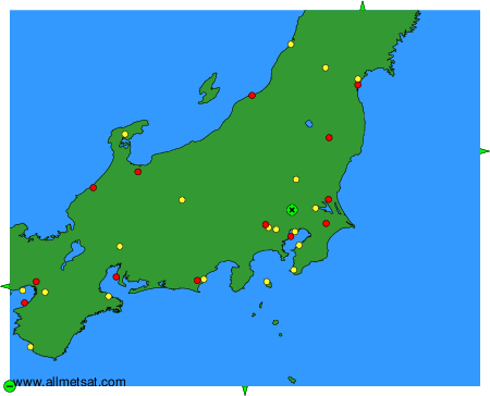
To change the map : click on the green buttons with a black cross to zoom in, on the green button with a dash to zoom out, or on the green arrows for adjacent maps.