METAR-TAF
Airports :
Narita International Airport
Tokyo Narita, Japan
latitude: 35-46N, longitude: 140-23E, elevation: 41 m
Current weather observation
The report was made 27 minutes ago, at 11:00 UTC
Wind 5 kt from the East/Southeast
Temperature 18°C
Humidity 94%
Pressure 1007 hPa
Visibility 10 km or more
Few clouds at a height of 3000 ft
Broken clouds
Broken clouds
METAR: RJAA 251100Z 12005KT 9999 FEW030 BKN/// 18/17 Q1007 NOSIG RMK 1CU030 A2976
Time: 20:27 (11:27 UTC)
Forecast
The report was made 6 hours and 18 minutes ago, at 05:09 UTC
Forecast valid from 25 at 06 UTC to 26 at 12 UTC
Wind 10 kt from the East/Southeast
Visibility 10 km or more
Few clouds at a height of 3000 ft
Becoming
from 25 at 13 UTC to 25 at 15 UTC
from 25 at 13 UTC to 25 at 15 UTC
Wind 4 kt from the North
Visibility: 4000 m
mist
Temporary
from 25 at 15 UTC to 25 at 21 UTC
from 25 at 15 UTC to 25 at 21 UTC
Visibility: 0700 m
Few clouds at a height of 100 ft
Broken clouds at a height of 200 ft
Broken clouds at a height of 200 ft
fog
Becoming
from 25 at 21 UTC to 26 at 00 UTC
from 25 at 21 UTC to 26 at 00 UTC
Wind 10 kt from the Southeast
Visibility 10 km or more
TAF: RJAA 250509Z 2506/2612 12010KT 9999 FEW030 BECMG 2513/2515 36004KT 4000 BR TEMPO 2515/2521 0700 FG FEW001 BKN002 BECMG 2521/2600 14010KT 9999 NSW
Weather observations and forecasts of more than 4000 airports (METAR and TAF reports).
The available stations are represented by yellow and red dots on the map.
Hover mouse over dot to see the name of the station.
Then click to see weather observations and forecasts.
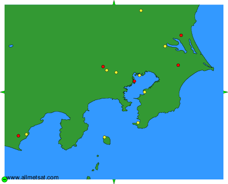
To change the map : click on the green buttons with a black cross to zoom in, on the green button with a dash to zoom out, or on the green arrows for adjacent maps.