METAR-TAF
Airports :
Djerba–Zarzis International Airport
Djerba, Tunisia
latitude: 33-52N, longitude: 010-46E, elevation: 3 m
Current weather observation
The report was made 14 minutes ago, at 21:30 UTC
Wind 5 kt from the East
Temperature 20°C
Humidity 64%
Pressure 1015 hPa
Visibility 10 km or more
Few clouds at a height of 4000 ft
METAR: DTTJ 132130Z 10005KT 9999 FEW040 20/13 Q1015
Time: 22:44 (21:44 UTC)
Forecast
The report was made 4 hours and 44 minutes ago, at 17:00 UTC
Forecast valid from 13 at 18 UTC to 14 at 18 UTC
Wind 10 kt from the Southeast
Visibility 10 km or more
Few clouds at a height of 4000 ft
Becoming
from 14 at 13 UTC to 14 at 15 UTC
from 14 at 13 UTC to 14 at 15 UTC
Wind 20 kt from the East
TAF: DTTJ 131700Z 1318/1418 13010KT 9999 FEW040 BECMG 1413/1415 10020KT
Weather observations and forecasts of more than 4000 airports (METAR and TAF reports).
The available stations are represented by yellow and red dots on the map.
Hover mouse over dot to see the name of the station.
Then click to see weather observations and forecasts.
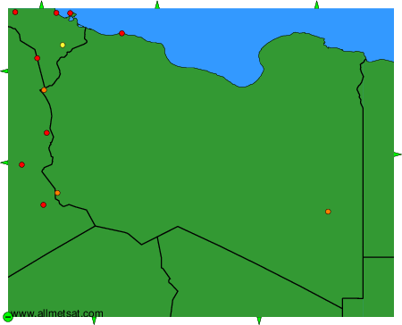
To change the map : click on the green buttons with a black cross to zoom in, on the green button with a dash to zoom out, or on the green arrows for adjacent maps.