METAR-TAF
Airports :
Benina International Airport
Benghazi, Libya
latitude: 32-06N, longitude: 020-16E, elevation: 430 ft
METAR: missing
Time: 02:22 (00:22 UTC)
Forecast
The report was made 1 hour and 22 minutes ago, at 23:00 UTC
Forecast valid from 10 at 00 UTC to 10 at 24 UTC
Wind 12 mph from the East/Southeast
Visibility: 22966 ft
Becoming
from 10 at 12 UTC to 10 at 14 UTC
from 10 at 12 UTC to 10 at 14 UTC
Wind 12 mph from the South/Southwest
TAF: HLLB 092300Z 1000/1024 12010KT 7000 NSC BECMG 1012/1014 21010KT
Weather observations and forecasts of more than 4000 airports (METAR and TAF reports).
The available stations are represented by yellow and red dots on the map.
Hover mouse over dot to see the name of the station.
Then click to see weather observations and forecasts.
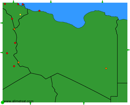
To change the map : click on the green buttons with a black cross to zoom in, on the green button with a dash to zoom out, or on the green arrows for adjacent maps.