METAR-TAF
Airports :
Tianjin Binhai International Airport
Tianjin, China
latitude: 39-11N, longitude: 117-21E, elevation: 3 m
Current weather observation
The report was made 32 minutes ago, at 07:00 UTC
Wind 10 kt from the Northwest, varying between West and North/Northwest
Temperature 10°C
Humidity 12%
Pressure 1024 hPa
Visibility 10 km or more
Scattered clouds at a height of 3000 ft
METAR: ZBTJ 290700Z 31005MPS 260V340 9999 SCT030 10/M18 Q1024 NOSIG
Time: 15:32 (07:32 UTC)
Forecast
The report was made 4 hours and 30 minutes ago, at 03:02 UTC
Forecast valid from 29 at 06 UTC to 30 at 12 UTC
Wind 16 kt from the Northwest with gusts up to 27 kt
Visibility: 5000 m
haze
Becoming
from 29 at 09 UTC to 29 at 10 UTC
from 29 at 09 UTC to 29 at 10 UTC
Wind 6 kt from the North/Northwest
Becoming
from 30 at 08 UTC to 30 at 09 UTC
from 30 at 08 UTC to 30 at 09 UTC
Wind 10 kt from the South/Southeast
TAF: ZBTJ 290302Z 2906/3012 31008G14MPS 5000 HZ NSC TX12/2906Z TX14/3006Z TN00/2921Z BECMG 2909/2910 34003MPS BECMG 3008/3009 16005MPS
Weather observations and forecasts of more than 4000 airports (METAR and TAF reports).
The available stations are represented by yellow and red dots on the map.
Hover mouse over dot to see the name of the station.
Then click to see weather observations and forecasts.
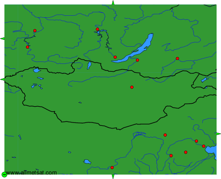
To change the map : click on the green buttons with a black cross to zoom in, on the green button with a dash to zoom out, or on the green arrows for adjacent maps.