METAR-TAF
Airports :
Gimpo International Airport
Seoul-Gimpo, South Korea
latitude: 37-33N, longitude: 126-48E, elevation: 18 m
Current weather observation
Broken clouds at a height of 3000 ft
Broken clouds at a height of 20000 ft
METAR: RKSS 200000Z 19007KT 9999 FEW015 BKN030 BKN200 30/27 Q1010 NOSIG
Time: 09:33 (00:33 UTC)
Forecast
from 20 at 03 UTC to 20 at 05 UTC
from 20 at 15 UTC to 20 at 17 UTC
Broken clouds at a height of 2500 ft
from 21 at 03 UTC to 21 at 05 UTC
TAF: RKSS 192300Z 2000/2106 19006KT 9999 BKN025 TX32/2006Z TN26/2020Z TX32/2105Z BECMG 2003/2005 25008KT SCT035 BECMG 2015/2017 18005KT FEW010 BKN025 BECMG 2103/2105 26006KT CAVOK
Weather observations and forecasts of more than 4000 airports (METAR and TAF reports).
The available stations are represented by yellow and red dots on the map.
Hover mouse over dot to see the name of the station.
Then click to see weather observations and forecasts.
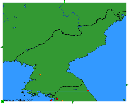
To change the map : click on the green buttons with a black cross to zoom in, on the green button with a dash to zoom out, or on the green arrows for adjacent maps.