METAR-TAF
Airports :
Stornoway Airport
Stornoway, Scotland
latitude: 58-13N, longitude: 006-19W, elevation: 9 m
Current weather observation
The report was made 31 minutes ago, at 07:50 UTC
Wind 14 kt from the South/Southwest
Temperature 8°C
Humidity 81%
Pressure 1005 hPa
Visibility 10 km or more
Few clouds at a height of 2000 ft, Cumulonimbus.
METAR: EGPO 130750Z 20014KT 9999 FEW020CB 08/05 Q1005
Time: 09:21 (08:21 UTC)
Forecast
The report was made 25 minutes ago, at 07:56 UTC
Forecast valid from 13 at 09 UTC to 13 at 18 UTC
Wind 12 kt from the South
Visibility 10 km or more
Scattered clouds at a height of 2000 ft
Temporary
from 13 at 09 UTC to 13 at 18 UTC
from 13 at 09 UTC to 13 at 18 UTC
Visibility: 7000 m
rain showers
Probability 30% :
Temporary
from 13 at 09 UTC to 13 at 18 UTC
from 13 at 09 UTC to 13 at 18 UTC
Wind 15 kt from the South/Southwest with gusts up to 25 kt
Visibility: 4000 m
Broken clouds at a height of 1400 ft
heavy rain showers
TAF: EGPO 130756Z 1309/1318 19012KT 9999 SCT020 TEMPO 1309/1318 7000 SHRA PROB30 TEMPO 1309/1318 20015G25KT 4000 +SHRA BKN014
Weather observations and forecasts of more than 4000 airports (METAR and TAF reports).
The available stations are represented by yellow and red dots on the map.
Hover mouse over dot to see the name of the station.
Then click to see weather observations and forecasts.
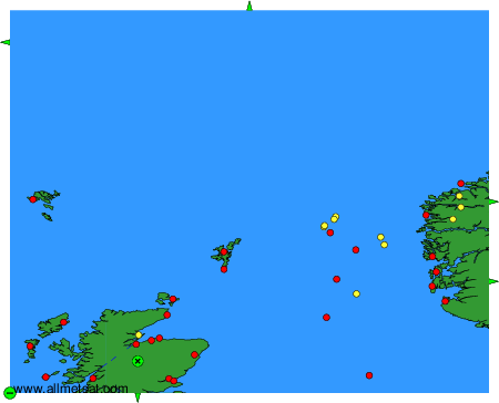
To change the map : click on the green buttons with a black cross to zoom in, on the green button with a dash to zoom out, or on the green arrows for adjacent maps.