METAR-TAF
Airports :
Ålesund Airport. Vigra
Ålesund, Norway
latitude: 62-34N, longitude: 006-07E, elevation: 2 m
Current weather observation
The report was made 18 minutes ago, at 12:20 UTC
Wind 5 kt from the Northwest, varying between West and North
Temperature 14°C
Humidity 82%
Pressure 1024 hPa
Visibility 10 km or more
Scattered clouds at a height of 800 ft
METAR: ENAL 161220Z 31005KT 280V360 9999 SCT008 14/11 Q1024
Time: 14:38 (12:38 UTC)
Forecast
The report was made 1 hour and 38 minutes ago, at 11:00 UTC
Forecast valid from 16 at 12 UTC to 16 at 21 UTC
Wind 8 kt from the North/Northwest
Visibility 10 km or more
Few clouds at a height of 500 ft
Scattered clouds at a height of 800 ft
Scattered clouds at a height of 800 ft
TAF: ENAL 161100Z 1612/1621 34008KT 9999 FEW005 SCT008
Weather observations and forecasts of more than 4000 airports (METAR and TAF reports).
The available stations are represented by yellow and red dots on the map.
Hover mouse over dot to see the name of the station.
Then click to see weather observations and forecasts.
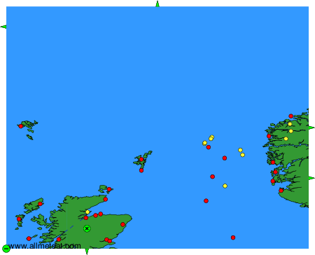
To change the map : click on the green buttons with a black cross to zoom in, on the green button with a dash to zoom out, or on the green arrows for adjacent maps.