METAR-TAF
Airports :
George F. L. Charles Airport
Castries, Saint Lucia
latitude: 14-01N, longitude: 061-00W, elevation: 2 m
Current weather observation
The report was made 1 hour and 15 minutes ago, at 00:00 UTC
Wind 7 kt from the East
Temperature 27°C
Humidity 74%
Pressure 1017 hPa
Visibility 10 km or more
Few clouds at a height of 2400 ft
METAR: TLPC 090000Z 10007KT 9999 FEW024 27/22 Q1017 NOSIG
Time: 21:15 (01:15 UTC)
Forecast
The report was made 8 hours and 15 minutes ago, at 17:00 UTC
Forecast valid from 08 at 18 UTC to 09 at 18 UTC
Wind 12 kt from the East
Visibility 10 km or more
Scattered clouds at a height of 2600 ft
TAF: TLPC 081700Z 0818/0918 09012KT 9999 SCT026
Weather observations and forecasts of more than 4000 airports (METAR and TAF reports).
The available stations are represented by yellow and red dots on the map.
Hover mouse over dot to see the name of the station.
Then click to see weather observations and forecasts.
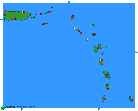
To change the map : click on the green buttons with a black cross to zoom in, on the green button with a dash to zoom out, or on the green arrows for adjacent maps.