METAR-TAF
Airports :
Inverness Airport
Inverness, Scotland
latitude: 57-32N, longitude: 004-03W, elevation: 9 m
Current weather observation
The report was made 25 minutes ago, at 10:50 UTC
Wind 4 kt from the Southwest
Temperature 15°C
Humidity 72%
Pressure 1018 hPa
Visibility 10 km or more
Few clouds at a height of 1000 ft
Scattered clouds at a height of 3200 ft
Broken clouds at a height of 4200 ft
Scattered clouds at a height of 3200 ft
Broken clouds at a height of 4200 ft
METAR: EGPE 021050Z 22004KT 9999 FEW010 SCT032 BKN042 15/10 Q1018
Time: 12:15 (11:15 UTC)
Forecast
The report was made 3 hours and 20 minutes ago, at 07:55 UTC
Forecast valid from 02 at 09 UTC to 02 at 18 UTC
Wind 4 kt from the West
Visibility 10 km or more
Few clouds at a height of 1200 ft
Scattered clouds at a height of 3000 ft
Scattered clouds at a height of 3000 ft
TAF: EGPE 020755Z 0209/0218 28004KT 9999 FEW012 SCT030
Weather observations and forecasts of more than 4000 airports (METAR and TAF reports).
The available stations are represented by yellow and red dots on the map.
Hover mouse over dot to see the name of the station.
Then click to see weather observations and forecasts.
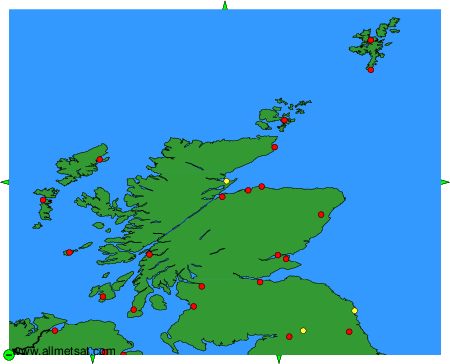
To change the map : click on the green buttons with a black cross to zoom in, on the green button with a dash to zoom out, or on the green arrows for adjacent maps.