METAR-TAF
Airports :
Tunis–Carthage International Airport
Tunis, Tunisia
latitude: 36-50N, longitude: 010-14E, elevation: 3 m
Current weather observation
The report was made 22 minutes ago, at 01:30 UTC
Wind 7 kt from the West/Northwest, varying between West and North/Northwest
Temperature 24°C
Humidity 89%
Pressure 1019 hPa
Visibility 10 km or more
Few clouds at a height of 2300 ft
METAR: DTTA 040130Z 30007KT 270V340 9999 FEW023 24/22 Q1019
Time: 02:52 (01:52 UTC)
Forecast
The report was made 2 hours and 52 minutes ago, at 23:00 UTC
Forecast valid from 04 at 00 UTC to 04 at 24 UTC
Wind 10 kt from the West/Northwest
Visibility 10 km or more
Scattered clouds at a height of 2300 ft
Scattered clouds at a height of 3000 ft
Scattered clouds at a height of 3000 ft
TAF: DTTA 032300Z 0400/0424 29010KT 9999 SCT023 SCT030
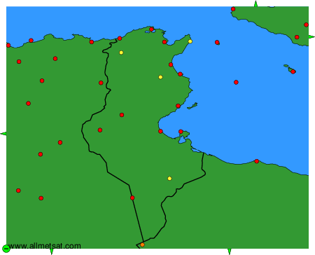
Weather observations and forecasts of more than 4000 airports (METAR and TAF reports).
The available stations are represented by yellow and red dots on the map.
Hover mouse over dot to see the name of the station.
Then click to see weather observations and forecasts.
To change the map : click on the green buttons with a black cross to zoom in, on the green button with a dash to zoom out, or on the green arrows for adjacent maps.