Climate normals
Climate :
Rawalpindi
Almaty
Bahrain
Bangkok
Beijing
Brunei
Cape Chelyuskin
Chengdu
Chennai
Chita
Dikson Island
Dubai
Dushanbe
Great Lyakhovsky Island
Hagåtña
Hong Kong
Irkutsk
Kabul
Karachi
Khatanga
Kolkata
Koror
Kotelny Island
Kuala Lumpur
Kunming
Kuwait City
Malé
Malye Karmakuly
Manila
Mumbai
New Delhi
Rawalpindi
Seoul
Shanghai-Hongqiao
Singapore
Tashkent
Tehran
Tokyo
Ulan Bator
Uyedineniya Island
Vientiane
Vize Island
Vladivostok
Yakutsk
Yap
Yekaterinburg
Asia
Afghanistan
Africa
Arctic Ocean
Australia, Oceania
Bahrain
Bangladesh
Bhutan
Cambodia
Central Siberia
China
China, East
Europe
Hong Kong
India
Indian Ocean
India, Northeast
Iran
Japan
Japan, Hokkaido
Japan, Honshu
Japan, Kyushu Shikoku
Japan, Ryukyu Islands
Japan, Sapporo
Japan, Tokyo
Kazakhstan
Kyrgyzstan
Laos
Macau
Malaysia
Mariana Islands
Mongolia
Myanmar
Nepal
North Korea
North Pacific
Oman
Pakistan
Philippines
Qatar
Saudi Arabia
Singapore
South Korea
Sri Lanka
Taiwan
Tajikistan
Thailand
Turkmenistan
United Arab Emirates
Uzbekistan
Vietnam
Western Siberia
Yemen
Climate : Rawalpindi, Pakistan PAF Base Nur Khan
latitude: 33-37N, longitude: 073-06E, elevation: 507 m
Monthly average of the minimum and maximum daily temperatures.°C/°F
Precipitation is any kind of water that falls from the sky as part of the weather. This includes drizzle, rain, hail, sleet, or snow.mm/inch
Monthly average number of hours of sunshine per day.
Climatic data of more than 3000 weather stations.
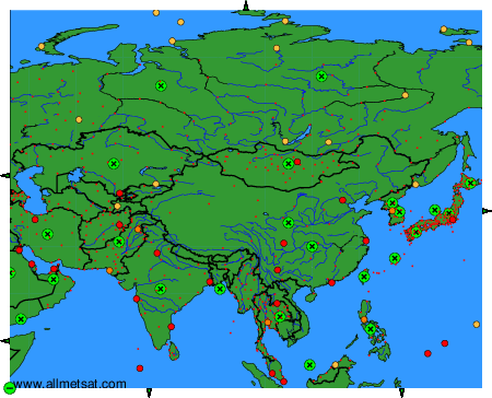
The available stations are represented by yellow and red dots on the map.
Hover mouse over dot to see the name of the station.
Then click to see the data.
To change the map : click on the green buttons with a black cross to zoom in, on the green button with a dash to zoom out, or on the green arrows for adjacent maps.
