Climate normals
Climate :
Piacenza
Ancona
Arezzo
Bergamo
Bologna
Bolzano
Brescia Ghedi
Brno
Budapest
Budapest
Cervia
Cheb
Częstochowa
Fichtelberg
Florence
Frontone
Görlitz
Graz
Hohenpeißenberg
Hradec Králové
Hurbanovo
Kassel
Klagenfurt
Kłodzko
Ljubljana
Malacky
Monte Cimone
Munich
Nuremberg
Opava
Ostrava
Padua
Paganella
Passo della Cisa
Passo Rolle
Pécs
Piacenza
Pisa
Prague
Ravenna
Rimini
Salzburg
Sankt Pölten
Säntis
San Valentino alla Muta
Sarajevo
Sarzana
Sliač
Sněžka
Sonnblick
Split
Szombathely
Tarvisio
Toblach
Treviso
Treviso
Trieste
Trieste / Ronchi dei Legionari
Udine
Venice
Verona
Vicenza
Vienna
Volterra
Wrocław
Zagreb
Zugspitze
Austria, Czech Republic, Slovenia
Albania
Bosnia and Herzegovina
Croatia
Europe
France
Germany
Hungary
Italy
Italy, North
Macedonia
Montenegro
Poland
Serbia
Slovakia
Switzerland
Climate : Piacenza, Italy Piacenza Air Base
latitude: 44-55N, longitude: 009-44E, elevation: 134 m
Monthly average of the minimum and maximum daily temperatures.°C/°F
Precipitation is any kind of water that falls from the sky as part of the weather. This includes drizzle, rain, hail, sleet, or snow.mm/inch
Number of Days with precipitation ≥ 1 mm
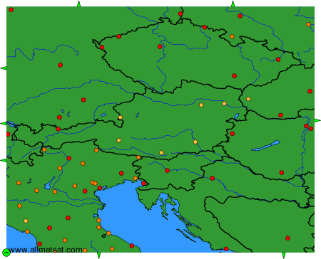
Climatic data of more than 3000 weather stations.
The available stations are represented by yellow and red dots on the map.
Hover mouse over dot to see the name of the station.
Then click to see the data.
To change the map : click on the green buttons with a black cross to zoom in, on the green button with a dash to zoom out, or on the green arrows for adjacent maps.