Climate normals
Climate :
Dunedin Musselburgh
Arapuni
Ardmore
Arthur's Pass
Ashburton
Atuona
Auckland
Auckland
Auki
Beacon Hill
Blenheim
Bora-Bora
Brisbane
Cape Campbell
Cape Reinga
Castlepoint
Christchurch
Cobb
Coffs Harbour
Coromandel
Dunedin
Dunedin Musselburgh
Feilding
Franz Josef
Gisborne
Hamilton
Hanmer Forest
Hao
Hilo
Hokitika
Honolulu
Hororata
Invercargill
Johnston
Kahului
Kaikoura
Kaitaia
Kawakawa
Kawerau
Koumac
Kwajalein
Lake Coleridge
Lake Rotoiti
Laucala
Lifou
Lihue
Little Barrier
Lord Howe Island
Majuro
Manukau Heads
Midway
Milford Sound
Minami Torishima
Molesworth
Mount Cook Village
Murchison
Nadi
Napier
Nelson
New Plymouth
Norfolk Island
Nouméa
Nouméa / La Tontouta
Nugget Point
Ohakea
Pago Pago
Palmerston North
Palmerston North
Paraparaumu
Pohnpei
Poindimié
Puysegur Point
Queenstown
Queenstown Airport
Rikitea
Rotorua
Tahiti
Taiaroa Head
Taipa-Mangonui
Takaroa
Taumarunui
Tauranga
Te Kuiti
Timaru
Timaru Harbour
Tiritiri Matangi
Tuai
Tubuai
Waingawa
Waiouru
Wake Island
Warkworth
Wellington
Wellington
Westport
Westport Harbour
Whangarei
Central Pacific
Australia
Hawaii
Melanesia
Mexico, Northwest
Micronesia
New Caledonia
New Zealand
New Zealand, North Island
New Zealand, South Island
North Pacific
South Pacific
Climate : Dunedin Musselburgh, New Zealand latitude: 45-54S, longitude: 170-31E, elevation: 2 m
Monthly average of the minimum and maximum daily temperatures.°C/°F
Precipitation is any kind of water that falls from the sky as part of the weather. This includes drizzle, rain, hail, sleet, or snow.mm/inch
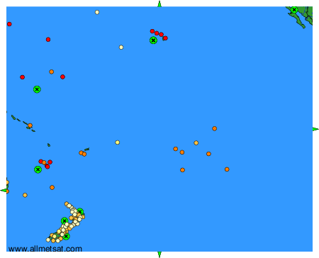
Climatic data of more than 3000 weather stations.
The available stations are represented by yellow and red dots on the map.
Hover mouse over dot to see the name of the station.
Then click to see the data.
To change the map : click on the green buttons with a black cross to zoom in, on the green button with a dash to zoom out, or on the green arrows for adjacent maps.