Climate normals
Climate :
Naushahro Feroze
Agra
Amritsar
Badin
Bahawalnagar
Balakot
Bamyan
Barkhan
Bayram-Ali
Baysun
Bikaner
Carsanga
Chabahar
Chaghcharan
Chitral
Dalbandin
Dera Ismail Khan
Dir
Drosh
Farah
Fayzabad
Gardēz
Ghazni
Herat
Hyderabad
Iranshahr
Jabal Saraj
Jacobabad
Jalalabad
Jhelum
Jiwani
Kabul
Kandahar
Karachi
Khanpur
Khorugh
Khost
Khuzdar
Kota
Kunduz
Lahore
Lashkar Gah
Ludhiana
Manora
Maymana
Mazar-i-Sharif
Multan
Murree
Naushahro Feroze
Nawabshah
Naya Chor
New Delhi
Nok Kundi
North-Salang
Ormara
Panjgur
Parachinar
Pasni
Peshawar
Qala i Naw
Quetta
Qurghonteppa
Rawalpindi
Rohri
Saragt
Serhetabat
Sheberghan
Sialkot
Sibi
Srinagar
Tarinkot
Termez
Zahedan
Zaranj
Zhob
Pakistan, Afghanistan
Asia
Bahrain
Bangladesh
Bhutan
China
India
India, Northeast
Iran
Kazakhstan
Kyrgyzstan
Myanmar
Nepal
Oman
Qatar
Sri Lanka
Tajikistan
Turkmenistan
United Arab Emirates
Uzbekistan
Climate : Naushahro Feroze, Pakistan latitude: 26-51N, longitude: 68-08E, elevation: 47 m
Monthly average of the minimum and maximum daily temperatures.°C/°F
Precipitation is any kind of water that falls from the sky as part of the weather. This includes drizzle, rain, hail, sleet, or snow.mm/inch
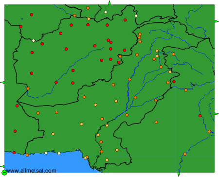
Climatic data of more than 3000 weather stations.
The available stations are represented by yellow and red dots on the map.
Hover mouse over dot to see the name of the station.
Then click to see the data.
To change the map : click on the green buttons with a black cross to zoom in, on the green button with a dash to zoom out, or on the green arrows for adjacent maps.