Climate normals
Climate :
Climate : Dakar, Senegal
Léopold Sédar Senghor International Airport
latitude: 14-44N, longitude: 017-30W, elevation: 27 m
| Monthly average number of hours of sunshine per day. |
Climatic data of more than 3000 weather stations.
The available stations are represented by yellow and red dots on the map.
Hover mouse over dot to see the name of the station.
Then click to see the data.
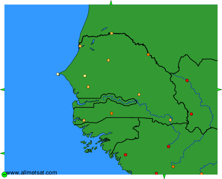
To change the map : click on the green buttons with a black cross to zoom in, on the green button with a dash to zoom out, or on the green arrows for adjacent maps.