Few clouds at a height of 3500 ft, Cumulonimbus. Scattered clouds at a height of 4000 ft Broken clouds at a height of 10000 ft
Temporary from 22 at 02 UTC to 22 at 06 UTC
Visibility: 4000 m
haze
Temporary from 22 at 12 UTC to 22 at 18 UTC
Wind 18 kt from the West/Northwest with gusts up to 28 kt
Visibility: 3000 m
Scattered clouds at a height of 3500 ft, Cumulonimbus. Scattered clouds at a height of 4000 ft Broken clouds at a height of 10000 ft
thunderstorm, rain, sand
TAF: OIFM 211110Z 2112/2218 12006KT 7000 NSC TEMPO 2112/2115 12014KT FEW035CB SCT040 BKN100 TEMPO 2202/2206 4000 HZ TEMPO 2212/2218 30018G28KT 3000 TSRA SA SCT035CB SCT040 BKN100
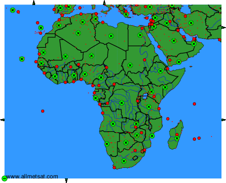
Weather observations and forecasts of more than 4000 airports (METAR and TAF reports). The available stations are represented by yellow and red dots on the map. Hover mouse over dot to see the name of the station. Then click to see weather observations and forecasts.
To change the map : click on the green buttons with a black cross to zoom in, on the green button with a dash to zoom out, or on the green arrows for adjacent maps.