METAR-TAF
Airports :
Allen Army Airfield
Delta Junction / Fort Greely, Alaska, United States
latitude: 64-00N, longitude: 145-44W, elevation: 1276 ft
Current weather observation
Overcast at a height of 11000 ft
METAR: PABI 070253Z 11015G22KT 8SM BKN055 OVC110 M11/M16 A2898 RMK AO2 PK WND 11031/0208 SNE20 SLP855 BLDRSN ALQDS P0000 60000 T11111161 55011 $
Time: 19:02 (04:02 UTC)
Forecast
from 07 at 03 UTC to 07 at 04 UTC
from 07 at 15 UTC to 07 at 16 UTC
TAF: PABI 062200Z 0622/0804 10030G45KT 4800 -SN OVC020 620201 520009 QNH2906INS BECMG 0703/0704 10015G25KT 4800 -SN OVC010 620101 520009 QNH2910INS BECMG 0715/0716 10025G35KT 9999 NSW OVC010 620101 520009 QNH2912INS TXM08/0623Z TNM15/0711Z LAST NO AMDS AFT 0705 NEXT 0714
Weather observations and forecasts of more than 4000 airports (METAR and TAF reports).
The available stations are represented by yellow and red dots on the map.
Hover mouse over dot to see the name of the station.
Then click to see weather observations and forecasts.
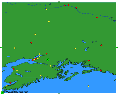
To change the map : click on the green buttons with a black cross to zoom in, on the green button with a dash to zoom out, or on the green arrows for adjacent maps.