METAR-TAF
Airports :
Eielson Air Force Base
Fairbanks Eielson, Alaska, United States
latitude: 64-39N, longitude: 147-06W, elevation: 548 ft
Current weather observation
Broken clouds at a height of 4700 ft
Overcast at a height of 11000 ft
METAR: PAEI 280155Z 27005KT 10SM FEW037 BKN047 OVC110 15/07 A2977 RMK AO2A SLP085 T01470073 $
Time: 18:54 (02:54 UTC)
Forecast
Broken clouds at a height of 20000 ft
from 27 at 22 UTC to 28 at 02 UTC
from 28 at 01 UTC to 28 at 02 UTC
Broken clouds at a height of 18000 ft
from 28 at 13 UTC to 28 at 14 UTC
Scattered clouds at a height of 8000 ft
Scattered clouds at a height of 20000 ft
TAF: PAEI 272200Z 2722/2904 VRB06KT 9999 VCSH BKN070 BKN200 QNH2976INS TEMPO 2722/2802 22009KT -SHRA BECMG 2801/2802 VRB06KT 9999 NSW SCT060 BKN180 QNH2979INS BECMG 2813/2814 VRB06KT 9999 FEW030 SCT080 SCT200 QNH2981INS TX22/2722Z TN06/2812Z
Weather observations and forecasts of more than 4000 airports (METAR and TAF reports).
The available stations are represented by yellow and red dots on the map.
Hover mouse over dot to see the name of the station.
Then click to see weather observations and forecasts.
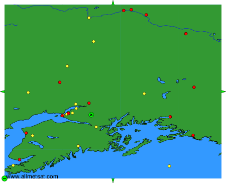
To change the map : click on the green buttons with a black cross to zoom in, on the green button with a dash to zoom out, or on the green arrows for adjacent maps.