METAR-TAF
Airports :
Ladd Army Airfield
Wainwright, Alaska, United States
latitude: 64-50N, longitude: 147-37W, elevation: 137 m
Current weather observation
Overcast at a height of 2700 ft
METAR: PAFB 240825Z AUTO 00000KT 10SM -RA SCT009 OVC027 13/13 A2997 RMK AO2 RAB0755E09RAB25 CIG 009V027 SLP155
Time: 01:04 (09:04 UTC)
Forecast
Broken clouds at a height of 6000 ft
Broken clouds at a height of 8500 ft
from 24 at 06 UTC to 24 at 10 UTC
Overcast at a height of 6000 ft
from 24 at 10 UTC to 24 at 14 UTC
Few clouds at a height of 2000 ft
Broken clouds at a height of 5000 ft
Broken clouds at a height of 8000 ft
from 24 at 15 UTC to 24 at 16 UTC
Scattered clouds at a height of 8000 ft
TAF: PAFB 240600Z 2406/2512 VRB06KT 9999 VCSH SCT030 BKN060 BKN085 620802 QNH2993INS TEMPO 2406/2410 BKN015 OVC060 TEMPO 2410/2414 8000 -RA BR FEW006 FEW020 BKN050 BKN080 BECMG 2415/2416 VRB06KT 9999 NSW SCT050 SCT080 QNH2985INS TX20/2502Z TN09/2415Z
Weather observations and forecasts of more than 4000 airports (METAR and TAF reports).
The available stations are represented by yellow and red dots on the map.
Hover mouse over dot to see the name of the station.
Then click to see weather observations and forecasts.
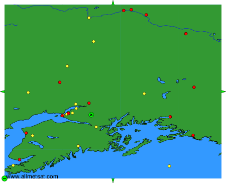
To change the map : click on the green buttons with a black cross to zoom in, on the green button with a dash to zoom out, or on the green arrows for adjacent maps.