METAR-TAF
Airports :
Bryant Army Heliport
Fort Richardson, Alaska, United States
latitude: 61-15-45N, longitude: 149-39-17W, elevation: 377 ft
Current weather observation
The report was made 56 minutes ago, at 13:55 UTC
Calm wind
Temperature -17°F
Humidity 75%
Pressure 29.64 in. Hg
Visibility: 10 miles
Clear sky
METAR: PAFR 031355Z AUTO 00000KT 10SM CLR M27/M30 A2964 RMK AO2 SLP052 T12711301 $
Time: 05:51 (14:51 UTC)
TAF: missing
Weather observations and forecasts of more than 4000 airports (METAR and TAF reports).
The available stations are represented by yellow and red dots on the map.
Hover mouse over dot to see the name of the station.
Then click to see weather observations and forecasts.
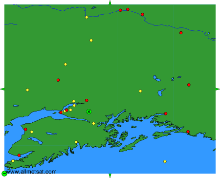
To change the map : click on the green buttons with a black cross to zoom in, on the green button with a dash to zoom out, or on the green arrows for adjacent maps.