METAR-TAF
Airports :
Gulkana Airport
Gulkana, Alaska, United States
latitude: 62-09N, longitude: 145-27W, elevation: 1578 ft
Current weather observation
The report was made 1 hour and 4 minutes ago, at 07:53 UTC
Calm wind
Temperature 54°F
Humidity 82%
Pressure 29.92 in. Hg
Visibility: 10 miles
Broken clouds at a height of 5000 ft
Broken clouds at a height of 6500 ft
Overcast at a height of 12000 ft
Broken clouds at a height of 6500 ft
Overcast at a height of 12000 ft
METAR: PAGK 100753Z AUTO 00000KT 10SM BKN050 BKN065 OVC120 12/09 A2992 RMK AO2 SLP138 T01170089 TSNO $
Time: 00:57 (08:57 UTC)
Forecast
The report was made 3 hours and 9 minutes ago, at 05:48 UTC
Forecast valid from 10 at 06 UTC to 11 at 06 UTC
Wind 3 mph from variable directions
Visibility: 6 miles
Few clouds at a height of 4000 ft
Overcast at a height of 6000 ft
Overcast at a height of 6000 ft
TAF: PAGK 100548Z 1006/1106 VRB03KT P6SM FEW040 OVC060
Weather observations and forecasts of more than 4000 airports (METAR and TAF reports).
The available stations are represented by yellow and red dots on the map.
Hover mouse over dot to see the name of the station.
Then click to see weather observations and forecasts.
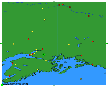
To change the map : click on the green buttons with a black cross to zoom in, on the green button with a dash to zoom out, or on the green arrows for adjacent maps.