METAR-TAF
Airports :
Seward Airport
Seward, Alaska, United States
latitude: 60-07N, longitude: 149-27W, elevation: 30 ft
Current weather observation
The report was made 1 hour and 1 minutes ago, at 23:53 UTC
Wind 8 mph from the South/Southeast
Temperature 52°F
Humidity 100%
Pressure 30.09 in. Hg
Visibility: 5 miles
Few clouds at a height of 1600 ft
Overcast at a height of 3700 ft
Overcast at a height of 3700 ft
light rain, mist
METAR: PAWD 202353Z AUTO 15007KT 5SM -RA BR FEW016 OVC037 11/11 A3009 RMK AO2 RAB00 SLP190 P0002 60017 T01060106 10117 20100 53009 TSNO $
Time: 16:54 (00:54 UTC)
TAF: missing
Weather observations and forecasts of more than 4000 airports (METAR and TAF reports).
The available stations are represented by yellow and red dots on the map.
Hover mouse over dot to see the name of the station.
Then click to see weather observations and forecasts.
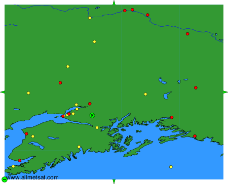
To change the map : click on the green buttons with a black cross to zoom in, on the green button with a dash to zoom out, or on the green arrows for adjacent maps.