METAR-TAF
Airports :
Palmer
Anchorage
Anchorage
Anchorage
Anchorage Elmendorf
Chugiak
Fort Richardson
Palmer
Portage Glacier
Talkeetna
Wasilla
Alaska, Anchorage
Alaska
Alaska, Anchorage Fairbanks
Palmer Municipal Airport Palmer, Alaska, United States
latitude: 61-36N, longitude: 149-05W, elevation: 74 m
Current weather observation The report was made 40 minutes ago, at 22:53 UTC
Wind 6 kt from the Southwest
Temperature 21 °C
Humidity 60 %
Pressure 1021 hPa
Visibility: 16.1 km
Clear sky
METAR: PAAQ 022253Z 23006KT 10SM CLR 21/13 A3014 RMK AO2 SLP207 T02060128 $
Time: 15:33 (23:33 UTC) Forecast The report was made 6 hours and 3 minutes ago, at 17:30 UTC
Forecast valid from 02 at 18 UTC to 03 at 18 UTC
Wind 4 kt from variable directions
Visibility: 10 km
Few clouds at a height of 10000 ft
From 02 at 2100 UTC
Wind 6 kt from the South
Visibility: 10 km
Clear sky
From 03 at 0400 UTC
Wind 10 kt from the South
Visibility: 10 km
Scattered clouds at a height of 5000 ft
From 03 at 0900 UTC
Wind 12 kt from the South/Southeast with gusts up to 22 kt
Visibility: 10 km
Broken clouds at a height of 5000 ft
From 03 at 1500 UTC
Wind 12 kt from the East/Southeast with gusts up to 22 kt
Visibility: 10 km
Overcast at a height of 5000 ft
showers in vicinity
TAF: PAAQ 021730Z 0218/0318 VRB04KT P6SM FEW100 FM022100 18006KT P6SM SKC FM030400 17010KT P6SM SCT050 FM030900 15012G22KT P6SM BKN050 FM031500 11012G22KT P6SM VCSH OVC050
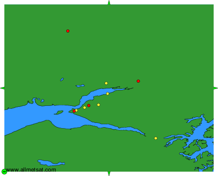
Weather observations and forecasts of more than 4000 airports (METAR and TAF reports).
The available stations are represented by yellow and red dots on the map.
Hover mouse over dot to see the name of the station.
Then click to see weather observations and forecasts.
To change the map : click on the green buttons with a black cross to zoom in, on the green button with a dash to zoom out, or on the green arrows for adjacent maps.