METAR-TAF
Airports :
Talkeetna Airport
Talkeetna, Alaska, United States
latitude: 62-19-14N, longitude: 150-05-37W, elevation: 358 ft
Current weather observation
METAR: PATK 290453Z AUTO 00000KT 10SM FEW090 17/12 A2979 RMK AO2 SLP089 T01670117 TSNO $
Time: 21:51 (05:51 UTC)
Forecast
from 29 at 09 UTC to 29 at 12 UTC
TAF: PATK 290531Z 2906/3006 VRB03KT P6SM FEW100 FM290900 00000KT P6SM VCFG FEW001 TEMPO 2909/2912 3SM BR SCT002 FM291800 VRB03KT P6SM SCT250
Weather observations and forecasts of more than 4000 airports (METAR and TAF reports).
The available stations are represented by yellow and red dots on the map.
Hover mouse over dot to see the name of the station.
Then click to see weather observations and forecasts.
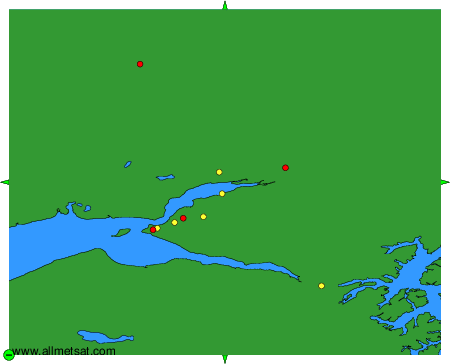
To change the map : click on the green buttons with a black cross to zoom in, on the green button with a dash to zoom out, or on the green arrows for adjacent maps.