
METAR-TAF
Airports :
Solander Islands, British Columbia, Canada
latitude: 50-07N, longitude: 127-56W, elevation: 325 ftCurrent weather observation
The report was made 1 hour and 9 minutes ago, at 08:00 UTC
Wind 37 mph from the South/Southeast with gusts up to 49 mph
Temperature 54°F
Humidity 94%
Pressure
METAR: CWRU 130800Z AUTO 15032G43KT 12/11 RMK AO1 0PAST HR PRESRR 3011 PK WND 13068/0713 SLP829 P0008 T01170111 50050
Time: 02:09 (09:09 UTC)
TAF: missing
Weather observations and forecasts of more than 4000 airports (METAR and TAF reports).
The available stations are represented by yellow and red dots on the map.
Hover mouse over dot to see the name of the station.
Then click to see weather observations and forecasts.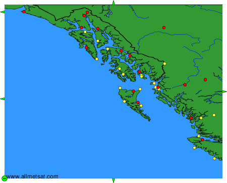
To change the map : click on the green buttons with a black cross to zoom in, on the green button with a dash to zoom out, or on the green arrows for adjacent maps.