METAR: CYQL 120500Z AUTO 21010KT 9SM CLR 16/10 A2992 RMK SLP120 DENSITY ALT 4000FT
Time: 00:08 (06:08 UTC)
Forecast
The report was made 26 minutes ago, at 05:42 UTC
Forecast valid from 12 at 06 UTC to 12 at 18 UTC
Wind 10 kt from the South/Southwest
Visibility: 10 km
Clear sky
Becoming from 12 at 10 UTC to 12 at 12 UTC
Wind 4 kt from the South/Southwest
From 12 at 1400 UTC
Wind 4 kt from the South
Visibility: 10 km
Few clouds at a height of 18000 ft Broken clouds at a height of 25000 ft
Temporary from 12 at 15 UTC to 12 at 18 UTC
Broken clouds at a height of 18000 ft
Becoming from 12 at 17 UTC to 12 at 18 UTC
Wind 12 kt from the West
TAF: CYQL 120542Z 1206/1218 21010KT P6SM SKC BECMG 1210/1212 20004KT FM121400 19004KT P6SM FEW180 BKN250 TEMPO 1215/1218 BKN180 BECMG 1217/1218 27012KT RMK FCST BASED ON AUTO OBS. NXT FCST BY 121200Z
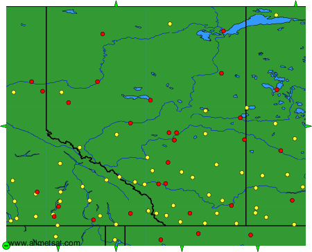
Weather observations and forecasts of more than 4000 airports (METAR and TAF reports).
The available stations are represented by yellow and red dots on the map.
Hover mouse over dot to see the name of the station.
Then click to see weather observations and forecasts.
To change the map : click on the green buttons with a black cross to zoom in, on the green button with a dash to zoom out, or on the green arrows for adjacent maps.