METAR-TAF
Airports :
Grande Prairie Airport
Grande Prairie, Alberta, Canada
latitude: 55-11N, longitude: 118-53W, elevation: 666 m
Current weather observation
The report was made 40 minutes ago, at 23:00 UTC
Wind 15 kt from the West with gusts up to 20 kt
Temperature 22°C
Humidity 27%
Pressure 1018 hPa
Visibility: 40.2 km
Few clouds at a height of 3800 ft
METAR: CYQU 132300Z 26015G20KT 25SM FEW038 22/02 A3006 RMK CU2 SLP191 DENSITY ALT 3400FT
Time: 17:40 (23:40 UTC)
Forecast
The report was made 5 hours and 0 minutes ago, at 18:40 UTC
Forecast valid from 13 at 19 UTC to 14 at 07 UTC
Wind 20 kt from the West with gusts up to 30 kt
Visibility: 10 km
Clear sky
From 13 at 2100 UTC
Wind 15 kt from the West/Southwest with gusts up to 25 kt
Visibility: 10 km
Scattered clouds at a height of 7000 ft
From 14 at 0400 UTC
Wind 8 kt from the West/Southwest
Visibility: 10 km
Few clouds at a height of 7000 ft
TAF: CYQU 131840Z 1319/1407 26020G30KT P6SM SKC FM132100 25015G25KT P6SM SCT070 FM140400 25008KT P6SM FEW070 RMK NXT FCST BY 140100Z
Weather observations and forecasts of more than 4000 airports (METAR and TAF reports).
The available stations are represented by yellow and red dots on the map.
Hover mouse over dot to see the name of the station.
Then click to see weather observations and forecasts.
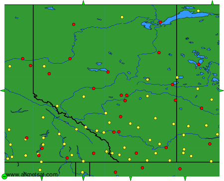
To change the map : click on the green buttons with a black cross to zoom in, on the green button with a dash to zoom out, or on the green arrows for adjacent maps.