METAR-TAF
Airports :
Kalispell City Airport
Kalispell Glacier Park, Montana, United States
latitude: 48-18-15N, longitude: 114-15-49W, elevation: 906 m
Current weather observation
The report was made 37 minutes ago, at 04:55 UTC
Calm wind
Temperature 1°C
Humidity 75%
Pressure 1007 hPa
Visibility: 16.1 km
Few clouds at a height of 12000 ft
METAR: KGPI 010455Z 00000KT 10SM FEW120 01/M03 A2975 RMK AO2 SLP093 T00061033
Time: 23:32 (05:32 UTC)
Forecast
The report was made 8 minutes ago, at 05:24 UTC
Forecast valid from 01 at 06 UTC to 02 at 06 UTC
Wind 5 kt from variable directions
Visibility: 10 km
Broken clouds at a height of 10000 ft
From 01 at 1200 UTC
Wind 5 kt from variable directions
Visibility: 6.4 km
Overcast at a height of 3000 ft
light rain, snow, mist
From 01 at 2000 UTC
Wind 7 kt from the South
Visibility: 9.7 km
Overcast at a height of 5000 ft
light rain, snow, mist
TAF: KGPI 010524Z 0106/0206 VRB05KT P6SM BKN100 FM011200 VRB05KT 4SM -RASN BR OVC030 FM012000 17007KT 6SM -RASN BR OVC050
Weather observations and forecasts of more than 4000 airports (METAR and TAF reports).
The available stations are represented by yellow and red dots on the map.
Hover mouse over dot to see the name of the station.
Then click to see weather observations and forecasts.
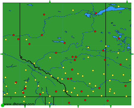
To change the map : click on the green buttons with a black cross to zoom in, on the green button with a dash to zoom out, or on the green arrows for adjacent maps.