METAR-TAF
Airports :
Harry Mwanga Nkumbula International Airport
Livingstone, Zambia
latitude: 17-49-18S, longitude: 025-49-22E, elevation: 991 m
METAR: missing
Time: 22:28 (20:28 UTC)
Forecast
The report was made 4 hours and 28 minutes ago, at 16:00 UTC
Forecast valid from 28 at 18 UTC to 29 at 24 UTC
Wind 4 kt from variable directions
Visibility 10 km or more
no clouds below 1500 m and no cumulonimbus
Becoming
from 29 at 12 UTC to 29 at 14 UTC
from 29 at 12 UTC to 29 at 14 UTC
Wind 6 kt from the East
Becoming
from 29 at 16 UTC to 29 at 18 UTC
from 29 at 16 UTC to 29 at 18 UTC
Wind 5 kt from the South/Southeast
TAF: FLHN 281600Z 2818/2924 VRB04KT CAVOK BECMG 2912/2914 09006KT BECMG 2916/2918 15005KT
Weather observations and forecasts of more than 4000 airports (METAR and TAF reports).
The available stations are represented by yellow and red dots on the map.
Hover mouse over dot to see the name of the station.
Then click to see weather observations and forecasts.
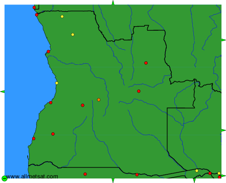
To change the map : click on the green buttons with a black cross to zoom in, on the green button with a dash to zoom out, or on the green arrows for adjacent maps.