METAR-TAF
Airports :
Kuito Airport
Kuito, Angola
latitude: 12-24-15S, longitude: 16-56-55E, elevation: 1712 m
METAR: missing
Time: 15:08 (14:08 UTC)
Forecast
The report was made 3 hours and 8 minutes ago, at 11:00 UTC
Forecast valid from 18 at 12 UTC to 18 at 24 UTC
Wind 2 kt from variable directions
Visibility 10 km or more
Scattered clouds at a height of 1500 ft
Overcast at a height of 2500 ft
Overcast at a height of 2500 ft
TAF: FNKU 181100Z 1812/1824 VRB02KT 9999 SCT015 OVC025
Weather observations and forecasts of more than 4000 airports (METAR and TAF reports).
The available stations are represented by yellow and red dots on the map.
Hover mouse over dot to see the name of the station.
Then click to see weather observations and forecasts.
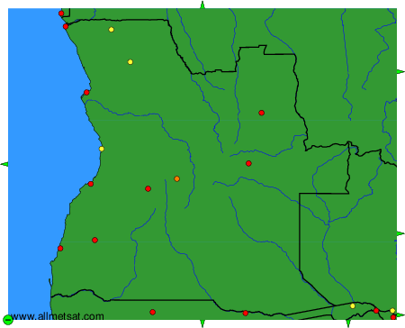
To change the map : click on the green buttons with a black cross to zoom in, on the green button with a dash to zoom out, or on the green arrows for adjacent maps.