METAR-TAF
Airports :
Lubango Airport
Lubango, Angola
latitude: 14-55-30S, longitude: 13-34-30E, elevation: 1761 m
Current weather observation
The report was made 1 hour and 20 minutes ago, at 09:00 UTC
Wind 7 kt from the Northeast, varying between North and East
Temperature 24°C
Humidity 31%
Pressure 1026 hPa
Visibility 10 km or more
Scattered clouds at a height of 3000 ft
METAR: FNUB 030900Z 04007KT 350V090 9999 SCT030 24/06 Q1026
Time: 11:20 (10:20 UTC)
Forecast
The report was made 11 hours and 20 minutes ago, at 23:00 UTC
Forecast valid from 03 at 00 UTC to 03 at 12 UTC
Wind 4 kt from the Southwest
Visibility: 8000 m
Scattered clouds at a height of 1000 ft
TAF: FNUB 022300Z 0300/0312 23004KT 8000 SCT010
Weather observations and forecasts of more than 4000 airports (METAR and TAF reports).
The available stations are represented by yellow and red dots on the map.
Hover mouse over dot to see the name of the station.
Then click to see weather observations and forecasts.
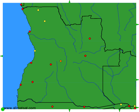
To change the map : click on the green buttons with a black cross to zoom in, on the green button with a dash to zoom out, or on the green arrows for adjacent maps.