METAR-TAF
Airports :
Luena Airport
Luena, Angola
latitude: 11-46-05S, longitude: 19-53-50E, elevation: 1329 m
Current weather observation
The report was made 1 hour and 4 minutes ago, at 17:00 UTC
Temperature
Pressure
METAR: FNUE 141700Z AUTO /////KT //// ////// ///// Q////
Time: 19:04 (18:04 UTC)
Forecast
The report was made 7 hours and 4 minutes ago, at 11:00 UTC
Forecast valid from 14 at 12 UTC to 14 at 24 UTC
Wind 7 kt from the East/Southeast
TAF: FNUE 141100Z 1412/1424 12007KT CAVOK
Weather observations and forecasts of more than 4000 airports (METAR and TAF reports).
The available stations are represented by yellow and red dots on the map.
Hover mouse over dot to see the name of the station.
Then click to see weather observations and forecasts.
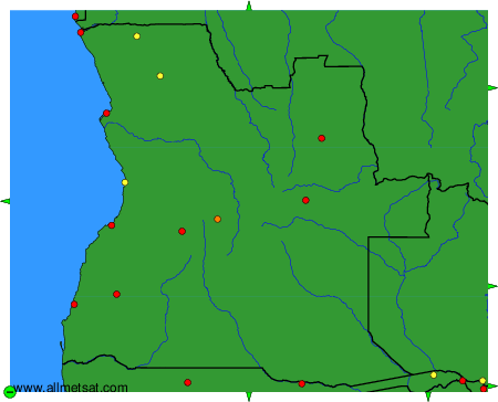
To change the map : click on the green buttons with a black cross to zoom in, on the green button with a dash to zoom out, or on the green arrows for adjacent maps.